One of the limited official copies of a geographical handbook on Persia and Arabia


NAVAL INTELLIGENCE DIVISION.
Persia. Geographical handbook series for official use only.
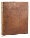
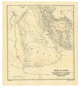
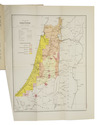
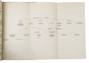
(colophon:) Oxford, University Press, September 1945. Large 8vo. With 1 large folding map of Iraq, Arabia and Persia bound at the end of the book, 11 smaller folding maps and 50 illustration figures in the text (smaller maps, current and wind charts, sections, diagrams on the rainfall, etc.). Also with 337 half-tone photographs, inserted on separate leaves and all numbered and captioned. Original publisher's green cloth, gilt-lettering on front board and spine. XIX, [1 blank], 638 pp. Full description
€ 1,250
(colophon:) Oxford, University Press, September 1945. Large 8vo. With 1 large folding map of Iraq, Arabia and Persia bound at the end of the book, 11 smaller folding maps and 50 illustration figures in the text (smaller maps, current and wind charts, sections, diagrams on the rainfall, etc.). Also with 337 half-tone photographs, inserted on separate leaves and all numbered and captioned. Original publisher's green cloth, gilt-lettering on front board and spine. XIX, [1 blank], 638 pp. Full description

